
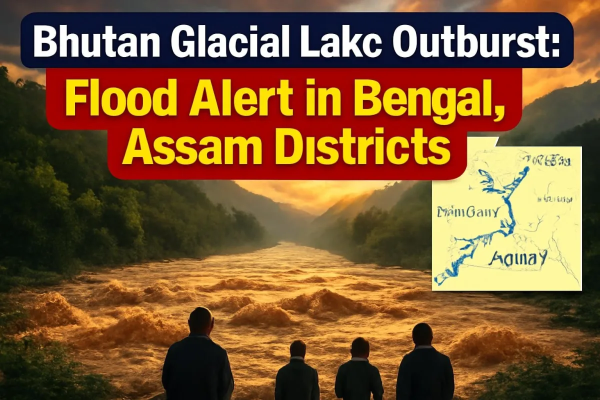
Villages along the Sankosh river in north Bengal and western Assam spent a tense night after water began pouring out of Shintaphu, a high-altitude glacial lake in Bhutan's Gasa district, on Thursday evening (October 29). Sirens sounded across riverside settlements, district administrations in Alipurduar, Jalpaiguri and Dhubri issued alerts, and residents living close to the riverbanks were asked to move to safer ground before the surge reached the Indian plains.
As of early Friday morning, no casualties had been reported on either side of the border, but officials have cautioned that the full volume of water released and the extent of damage downstream will only become clear once the flood wave passes.
What happened at Shintaphu lake
Shintaphu lake sits below Wakila mountain in the Lunggo area of Laya, in Bhutan's northern Gasa district, close to the source of the Mo Chhu river. Bhutan counts it among the 17 glacial lakes in the country that are considered potentially dangerous, meaning they hold enough meltwater behind fragile natural barriers to cause a sudden flood if those barriers give way.
Reports from both countries say water started flowing out of the lake rapidly on Thursday evening. The rivers fed by this basin join the Punatsangchhu system in Bhutan, which enters India as the Sankosh. That is why the alert stretches all the way to Kumargram in Alipurduar and to Dhubri in Assam, hundreds of kilometres from the lake itself.
In Bhutan, local residents in the affected area were reportedly moved to safe places. An official of Bhutan's National Centre for Hydrology and Meteorology was quoted as saying that a water-level monitoring station exists at Taktsimakhang, but that no alert had been triggered there in the initial hours, possibly because the flood wave had not yet reached it.
Alerts and evacuation appeals in India
The strongest warnings came from West Bengal's Alipurduar district. State Forest Minister Manoj Kumar Oraon, who represents Kumargram, posted a video message on Facebook urging people living near the Sankosh to shift to safer places immediately, follow instructions from the administration and ignore rumours. Areas he flagged for special caution include the upper Sankosh forest village, the Sankosh tea garden belt, Kumargram block, Chengmari and nearby settlements.
In Jalpaiguri district, the administration in Banarhat began alerting residents and said it was ready to move people if water levels rose sharply. Across the river in Assam, the Dhubri district administration has also started precautionary evacuations along the riverbanks. National and State Disaster Response Force teams have been positioned in parts of the Cooch Behar region, including Tufanganj and Boxirhat, according to news agency reports.
| Lake | Shintaphu glacial lake, Lunggo (Laya), Gasa district, Bhutan |
| When | Outflow began Thursday evening, October 29, 2026 |
| River at risk in India | Sankosh (Punatsangchhu basin in Bhutan) |
| Districts on alert | Alipurduar and Jalpaiguri (West Bengal), Dhubri (Assam) |
| Response | Sirens, evacuation appeals, NDRF/SDRF teams on standby |
| Casualties | None reported so far |
Why glacial lake floods are so dangerous
A glacial lake outburst flood, or GLOF, is very different from a monsoon flood. Instead of water rising slowly over days, a huge volume can be released in a matter of hours, carrying boulders, mud and uprooted trees downstream at high speed. Bridges, roads and riverside homes are usually the first to take the hit, and the wave can travel long distances before it weakens.
The eastern Himalaya has seen how destructive these events can be. In October 2023, the outburst of South Lhonak lake in Sikkim sent a wall of water down the Teesta, washing away the Chungthang dam and causing heavy loss of life in Sikkim and north Bengal. That disaster pushed India to begin installing early warning systems at high-risk glacial lakes, and it is one reason officials in Bengal and Assam moved quickly on Thursday night rather than waiting for the water to arrive.
What it means for people living downstream
For families in Kumargram, Dhubri and the tea garden belt, the immediate concern is safety. Officials have asked people not to go near the river to watch or film the water, to keep important documents and medicines ready, and to rely only on announcements from the district administration.
The bigger worry, once the water passes, will be damage to roads, bridges and rail links that connect north Bengal with Assam, and to farmland along the river during the current crop cycle. Any disruption on these routes can affect the movement of goods into the Northeast for days.
Safety tips if you live near the Sankosh
- Move to higher ground or a relief camp if your area is asked to evacuate; do not wait for water to enter your home.
- Keep ID documents, medicines, drinking water and a charged phone ready in one bag.
- Stay away from riverbanks, bridges and low causeways until officials declare it safe.
- Follow only official updates from the district administration and avoid forwarding unverified videos.
What happens next
Authorities on both sides of the border are tracking the flood wave through monitoring stations along the river. The coming hours will show how much water actually reaches the plains and whether embankments hold. Damage assessments will begin once levels recede, and the episode is likely to renew calls for real-time monitoring and shared warning systems for glacial lakes on rivers that flow from Bhutan into India.
ViralDose will update this story as officials share more information.






Comments (0)