
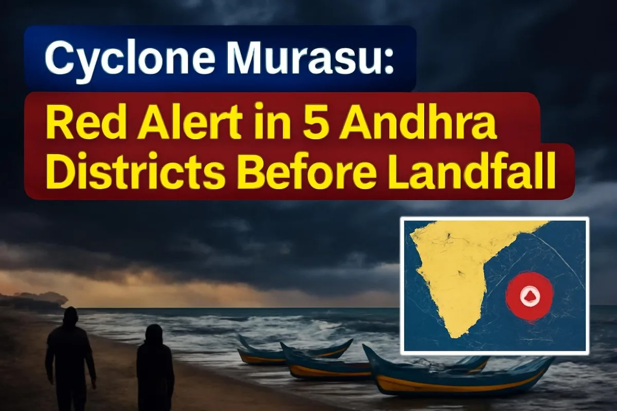
Andhra Pradesh is staring at its second cyclone in barely a week. Cyclone Murasu, which formed over the Bay of Bengal on Sunday, November 1, is expected to cross the south Andhra coast between Nellore and Narsapur as a severe cyclonic storm between roughly 11:30 pm on Monday, November 2, and 4 am on Tuesday, November 3, according to the India Meteorological Department (IMD). Five coastal districts are under a red alert for extremely heavy rain today.
For families in Krishna, Guntur, Bapatla, Prakasam and Nellore who are still drying out after Cyclone Arnab, the next 24 hours matter a great deal. Here is what we know so far.
How Murasu Took Shape So Quickly
The system started as a low-pressure area near the Andaman and Nicobar Islands late last week. On Saturday, October 31, it concentrated into a depression over the southeast Bay of Bengal, and by early Sunday the IMD said it had become a deep depression. Within hours it was upgraded to Cyclonic Storm Murasu, moving west-northwest towards the Indian coast at over 20 kmph.
The name Murasu was given by India. In Tamil, it refers to a traditional war drum, a fitting label for a storm that has sounded alarms along a coastline that has had little time to recover.
The IMD's bulletins on Sunday said the storm was likely to intensify further into a severe cyclonic storm by Monday morning before it reaches the coast.
Cyclone Murasu: Key Facts at a Glance
| Storm name | Murasu (named by India; Tamil for "war drum") |
| Expected intensity at landfall | Severe cyclonic storm |
| Landfall zone | South Andhra Pradesh coast, between Nellore and Narsapur |
| Expected landfall window | About 11:30 pm, Nov 2 to 4 am, Nov 3 (subject to change) |
| Wind speed | 100-110 kmph, gusting to 120 kmph |
| Red alert, Nov 2 | Krishna, Guntur, Bapatla, Prakasam, Nellore |
| Orange alert, Nov 2 | East Godavari, West Godavari, Eluru, NTR, Palnadu, Tirupati, Chittoor |
| Red alert, Nov 3 | Alluri Sitharama Raju, Eluru |
| Previous cyclone | Arnab, landfall on October 28 |
Which Districts Face the Worst of It
The red alert for Monday covers Krishna, Guntur, Bapatla, Prakasam and Nellore, where heavy to extremely heavy rainfall is likely along with thunderstorms and squally winds. An orange alert is in place for East Godavari, West Godavari, Eluru, NTR, Palnadu, Tirupati and Chittoor.
As the storm moves inland on Tuesday, the red alert shifts to Alluri Sitharama Raju and Eluru districts. Rayalaseema is also expected to see very heavy rain on November 2 and 3, and the IMD has flagged the possibility of isolated extremely heavy spells. Yanam, the Puducherry enclave in the Godavari delta, may also face bad weather.
Officials have warned of waterlogging, local flooding and disruption to road transport. Fishermen have been told to stay ashore, and those already at sea were asked to return. The IMD has warned of very rough sea conditions over large parts of the central and west-central Bay of Bengal.
Tamil Nadu, Odisha and Telangana Also on Watch
Murasu's outer bands are already being felt to the south. The Chennai and Tiruvallur district administrations declared a holiday for all schools on Monday as a precaution, after the Regional Meteorological Centre issued an orange alert warning of very heavy rainfall of 12 to 20 cm in 24 hours. Chengalpattu, Kancheepuram, Ranipet, Vellore and the Nilgiris are under yellow alerts. Tamil Nadu's disaster management department has told all collectors to stay on high alert.
In Odisha, the Bhubaneswar Meteorological Centre said rain will begin on November 2 and pick up on November 3 and 4, especially in the south of the state. Revenue and Disaster Management Minister Suresh Pujari said a high alert has been sounded, and officials have held meetings with the collectors of Ganjam, Gajapati, Malkangiri, Koraput, Rayagada, Nabarangpur and Kandhamal. People living in low-lying areas and below landslide-prone hills are being moved to safety.
Telangana could see isolated heavy rain and squally weather once the system moves inland after landfall.
Why This One Feels Heavier
On paper, Murasu is weaker than Arnab. IMD Director General Mrutyunjay Mohapatra had said earlier that the new system would not match the strength of its predecessor, which crossed the Andhra and Yanam coasts on October 28 as a very severe cyclonic storm. Arnab left at least three people dead in Andhra Pradesh, triggered landslides in Odisha, and forced the evacuation of more than 1.8 lakh people across the two states.
The problem is timing. Soil is still saturated, many rivers and canals are running high, and some damaged homes and power lines have not yet been fully repaired. Even a less intense storm can cause outsized trouble when the ground cannot absorb more water.
What Residents Should Do Now
- Follow only official IMD bulletins and district administration updates; the exact landfall point and timing can shift as the storm nears the coast.
- Stay away from beaches and exposed seafronts until the all-clear is given.
- If you live in a low-lying or flood-prone area, keep documents, medicines, drinking water and a charged phone ready, and move when officials ask you to.
- Avoid travel on Monday night and early Tuesday in the red-alert districts unless it is essential.
- Keep away from fallen power lines and do not wade into flowing water.
What Happens Next
The coming 24 hours will decide how hard Murasu hits. After landfall, the system is expected to weaken gradually as it moves inland, but heavy rain could continue over Rayalaseema, south Odisha and parts of Telangana into Wednesday. Fishermen have been advised not to venture out until at least Wednesday afternoon. ViralDose will keep tracking IMD updates through the day.





Comments (0)