

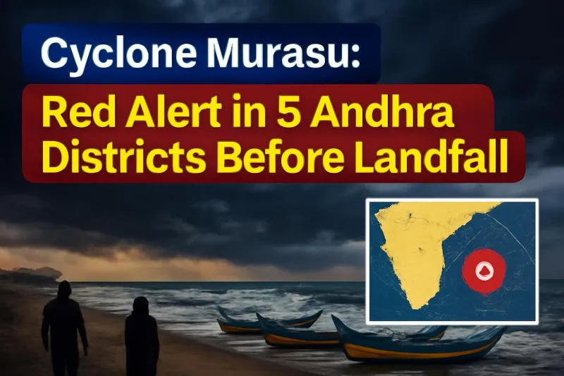
Severe Cyclone Murasu began crossing the south Andhra Pradesh coast near Ongole in the early hours of Tuesday, November 3, bringing gale-force winds of 100–110 km/h and gusts touching 120 km/h. The India Meteorological Department (IMD) said a large part of the storm's wall cloud had moved over land and its eye was entering the coast, with the landfall process expected to continue for a couple of hours.
For coastal families in Prakasam, Nellore, Bapatla and Krishna districts, it has been a tense night. This is the second cyclone to hit the same stretch of the east coast in barely a week, coming close on the heels of Cyclone Arnab.
Where and when Murasu hit
The IMD had forecast landfall between Nellore and Narsapur, close to Ongole, between late Monday night and the early hours of Tuesday. Officials later narrowed the likely point to the Kothapatnam area near Ongole. By Monday afternoon the system, already a severe cyclonic storm over the west-central and southwest Bay of Bengal, was roughly 100 km east-southeast of Nellore and moving west-northwest.
Reports from the ground late on Monday described strong winds and heavy rain at Kothapatnam beach, moderate rain in Ongole and only a light drizzle in Nellore, showing how sharply conditions can change within a few kilometres as a cyclone closes in.
Storm surge and rain warnings
The IMD warned of a storm surge of 1 to 1.5 metres above the astronomical tide, which could flood low-lying coastal areas until Tuesday morning. The highest surge was expected around Bapatla and the Krishna and Prakasam districts. Heavy rain spells were forecast along the south coast for the next 12 hours, and the Met Centre at Amaravati placed Bapatla, Nellore, Prakasam, Chittoor and Tirupati under a red alert for extremely heavy rain, thunderstorms and squalls.
Key facts at a glance
| Cyclone name | Murasu (severe cyclonic storm) |
| Landfall area | Between Nellore and Narsapur, near Ongole (Kothapatnam) |
| Landfall time | Early hours of Tuesday, November 3, 2026 |
| Wind speed | 100–110 km/h, gusting to 120 km/h |
| Storm surge | 1.0–1.5 metres above astronomical tide |
| Most affected districts | Prakasam, Nellore, Bapatla, Krishna |
| Red alert districts | Bapatla, Nellore, Prakasam, Chittoor, Tirupati |
| Port signals | Signal 10 at Nizampatnam, 9 at Machilipatnam, 8 at Krishnapatnam |
| Helpline | Mana Mitra WhatsApp: 9552300009 |
How the state prepared
Chief Minister N. Chandrababu Naidu held a teleconference with officials of the cyclone-hit districts and told them to stay on high alert, with the clear aim of preventing any loss of life. He said the deaths seen during Cyclone Arnab should not be repeated, while noting that Murasu's winds were expected to be weaker than Arnab's.
People in the worst-hit areas were asked not to step out until the storm had fully crossed the coast. Staff at Swarna Grama and Swarna Ward secretariats were told to pass on warnings at the grassroots level, and irrigation officials were asked to watch canals and tanks for breaches. The power department was told to restore damaged poles and supply as fast as possible.
In Prakasam, which has 74 km of coastline, Collector P. Raja Babu's team identified seven coastal mandals, 26 vulnerable villages and around 70 habitations likely to be affected. Vulnerable residents, including women and children, were shifted to cyclone shelters, and pregnant women close to their due dates were moved to hospitals. Three NDRF teams were stationed near the sea, schools in the district were shut and 24-hour command rooms were opened at mandal, division and collectorate levels.
Across five states, the NDRF deployed 37 teams, 13 of them in coastal Andhra Pradesh. At least 19 domestic flights were cancelled on Monday at Vijayawada, Tirupati and Visakhapatnam airports, though no train cancellations had been reported.
What it means for people in the region
The biggest worries now are flooding in low-lying villages, uprooted trees, power cuts and damage to standing crops. Farmers in coastal Andhra and southern Odisha are still counting losses from Cyclone Arnab, which Chief Minister Naidu said caused a preliminary loss of Rs 4,526 crore in Andhra Pradesh alone. Another round of heavy rain on already waterlogged fields could add to that bill.
Residents can report fallen trees, collapsed walls, waterlogging or power outages on the state's Real Time Governance Society (RTGS) "Mana Mitra" WhatsApp helpline at 9552300009. Fishermen have been told not to venture into the sea until the warnings are lifted.
Neighbouring states
Odisha moved more than 1.6 lakh people to safety by Monday as a precaution for its southern districts, where Ganjam and Gajapati are expected to get heavy to very heavy rain through Wednesday. South Telangana is also expected to see heavy rain over the next three days, while Chennai and north Tamil Nadu have been bracing for wet weather.
What happens next
After landfall, Murasu is expected to weaken gradually as it moves inland, but heavy rain can continue for a day or two over coastal and interior districts. The IMD will issue updated bulletins through the day, and officials will begin assessing damage once the winds ease. The state has already asked the central team that is studying Arnab's damage to release immediate aid, and Murasu's impact is likely to be added to that request.
Until the all-clear is given, the advice is simple: stay indoors, keep phones charged, avoid the beach and riverbanks, and follow only official updates from the IMD and district administrations.




Comments (0)