
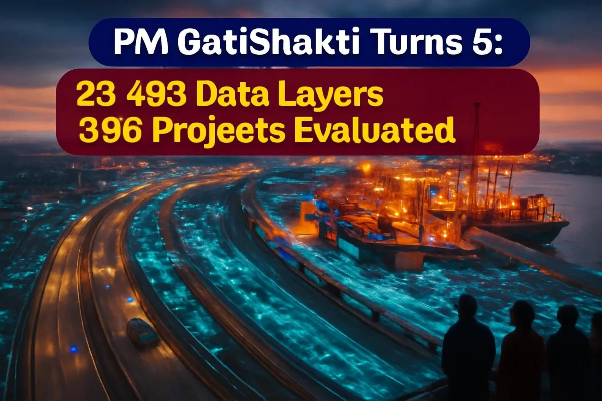
Five years ago, a road would often be dug up weeks after it was laid because a gas pipeline or a cable had to go under it. The PM GatiShakti National Master Plan, launched on October 13, 2021, was meant to end that kind of waste. On Tuesday, the plan completed five years, and the government used the milestone to showcase how far its digital, map-based approach to infrastructure planning has travelled.
Union Commerce and Industry Minister Piyush Goyal marked the anniversary on social media, saying the plan had moved India "from a fragmented approach to a coordinated, technology-driven & Whole-of-Government framework".
What is PM GatiShakti?
At its heart, GatiShakti is a giant digital map. It is a GIS-based platform where every ministry and state can see what already exists on the ground, from forests and rivers to rail lines, power grids and pipelines, before planning a new project. It is not a funding scheme. It is a planning and coordination tool.
The plan rests on six principles, including integrated development, last-mile connectivity and reduced ecological impact. It covers seven "engines" of infrastructure: roads, railways, ports, waterways, airports, mass transport and logistics. Flagship programmes such as Bharatmala, Sagarmala, inland waterways and UDAN are all plugged into it.
Five years in numbers
| Item | Status |
|---|---|
| Launched | October 13, 2021 |
| Coverage | 58 Central ministries/departments, all 36 States and UTs |
| Data layers on the platform | Over 23,493 (as of October 12, 2026) |
| Public datasets | 230 approved datasets on PM GatiShakti Public |
| Projects evaluated by Network Planning Group | 396, worth about Rs 18.66 lakh crore |
| Projects sanctioned / under implementation | 256 / 198 (as of August 11, 2026) |
| Officers trained by Gati Shakti Vishwavidyalaya | Over 2.4 lakh (as of July 2026) |
| ULIP integration | 46 systems, 12 ministries, 142 APIs |
The Network Planning Group (NPG), which screens big infrastructure projects through the GatiShakti lens, is the key gatekeeper. Projects above Rs 500 crore pass through it so that alignments, land needs and overlaps with other networks are checked early.
Projects that show the plan at work
Pune-Bengaluru Expressway
The 699-km expressway, expected to be completed in 2027-28, is one of the government's favourite examples. Using the platform, planners revised the alignment and cut its overlap with forest land by 19%. Officials expect it to save seven to eight hours of travel time.
Jogighopa logistics park and Dhubri-Phulbari bridge
In Assam, the Jogighopa Multimodal Logistics Park on the northern bank of the Brahmaputra is designed to link road, rail and river transport. A planned bridge between Dhubri in Assam and Phulbari in Meghalaya is projected to cut the road distance from 205 km to just 20 km, and travel time from about seven hours to around 30 minutes.
Ladakh-Haryana green energy corridor
The plan has also been used for power transmission. A 480-km HVDC line from Pang in Ladakh to Kaithal in Haryana will help carry renewable energy from the high-altitude region to the national grid, with completion targeted for 2029-30.
The next big step: ITLA
The fifth anniversary comes days after the Union Cabinet, chaired by Prime Minister Narendra Modi, approved the setting up of an Integrated Transport & Logistics Authority (ITLA). Announced by Union Minister Ashwini Vaishnaw, the new body will:
- Prepare a long-term National Transport Master Plan covering roads, railways, ports, aviation, waterways, urban mobility and logistics.
- Carry out technical appraisal of government infrastructure projects worth Rs 500 crore or more.
- Monitor such projects and assess their impact after completion.
- Build a unified transport data repository using sources such as e-way bills, FASTag and Vahan.
- Advise on updating the National Logistics Policy of 2022.
The idea is to fix a long-standing problem: India's transport sectors have been planned by separate ministries, each with its own priorities.
What it means for India
For ordinary citizens, the payoff from better planning is slow but real: fewer stalled projects, shorter detours, and freight that moves faster and cheaper. Lower logistics costs eventually show up in the price of goods, from cement to vegetables. Opening the platform to private users since October 2025 also lets companies use the same data to pick factory and warehouse sites.
The challenge, as critics point out, is execution. Only about half of the projects evaluated so far are actually under implementation, and statutory clearances still take time.
What happens next
Goyal said the next phase will focus on multimodal connectivity, faster project execution, logistics efficiency and inclusive regional development, with the plan's use widening to states, districts and social sectors such as schools and health centres. ITLA's setting up will be the first big test of that ambition.





Comments (0)