

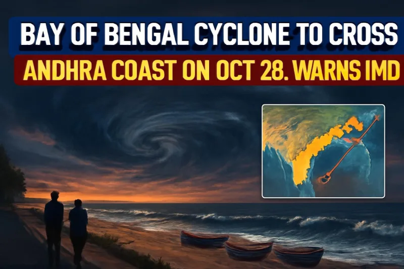
The east coast is bracing for its first big cyclone of the season. The deep depression churning over the Bay of Bengal is expected to strengthen into Cyclone Arnab on Monday, October 26, and the India Meteorological Department (IMD) says it will cross the Andhra Pradesh coast between Bapatla and Visakhapatnam around the forenoon to afternoon of Wednesday, October 28, packing winds of 115–125 km/h with gusts up to 140 km/h.
Red alerts are already in place across parts of Andhra Pradesh, Odisha, Telangana and Chhattisgarh, fishing boats have been called back, and disaster response teams are moving into position along the coast.
Where the storm is now
On Sunday, the system was a deep depression sitting roughly 850–870 km east-southeast of Visakhapatnam and moving slowly, at about 5 km/h. That slow crawl over warm water is exactly what forecasters watch for, because it gives a storm time to gather strength.
The IMD's projected timeline is steep. The depression is expected to become a cyclonic storm by Monday morning, a severe cyclonic storm by October 27 and a very severe cyclonic storm before it reaches land on October 28. The name Arnab, which means "ocean" in Bengali, comes from the list contributed by Bangladesh.
The latest state briefings place the most likely crossing belt around Konaseema, Yanam and Kakinada, though the official warning zone stretches from Bapatla in the south to Visakhapatnam in the north. Strong winds are expected to start lashing coastal districts from the morning of October 27.
Cyclone Arnab: key facts at a glance
| Expected name | Arnab (contributed by Bangladesh) |
| Landfall zone | Andhra coast between Bapatla and Visakhapatnam |
| Likely crossing belt | Konaseema – Yanam – Kakinada |
| Landfall time | Forenoon to afternoon, October 28 |
| Wind speed at landfall | 115–125 km/h, gusting to 140 km/h |
| Peak rain days | October 27 and 28 |
| Response teams in Andhra | 10 NDRF + 11 SDRF teams |
| Andhra SDMA helplines | 112, 1070, 1800-425-0101 |
How much rain is coming
North Andhra is in the firing line. State projections of five-day cumulative rainfall show Anakapalli at around 293 mm, Alluri Sitarama Raju at 281 mm, Visakhapatnam at 254 mm and Srikakulam at 249 mm. The IMD has warned of isolated extremely heavy rain of more than 20 cm in 24 hours on October 28 over north coastal Andhra and south Odisha.
Krishna and Bapatla districts are on red alert for October 27, with a wider red alert covering coastal districts on October 28. Vizianagaram, Srikakulam and Alluri Sitarama Raju have also been flagged, while Palnadu, Nellore and Prakasam are under lower-level warnings.
Odisha, Telangana and Chhattisgarh
Odisha has put Ganjam, Gajapati, Rayagada, Koraput and Malkangiri on red alert for October 28, with gusty winds of 60–70 km/h expected. Schools, colleges and anganwadi centres in these five districts will stay shut on October 28 and 29. Ganjam alone has readied 100 cyclone shelters and identified about 1,000 temporary locations for evacuation, while the state has mobilised around 60 ODRAF teams, 17 NDRF teams and 225 fire service teams.
In Telangana, IMD Hyderabad has issued a red alert for Khammam, Bhadradri Kothagudem and Mulugu on October 28, with an orange alert for Jayashankar Bhupalpally, Hanamkonda, Warangal, Mahabubabad and Suryapet. Hyderabad city is only expected to see light rain or thundershowers. Four districts in Chhattisgarh are also under red alert for the same day.
What the Andhra government has ordered
Chief Minister N. Chandrababu Naidu chaired a review meeting at his Undavalli camp office on Sunday evening with Chief Secretary Sai Prasad, DGP Harish Gupta, district collectors and key departments. He directed officials to stay on round-the-clock vigilance, bring every fishing boat at sea safely back to shore and put collectors in the Konaseema–Yanam–Kakinada belt on high alert.
Irrigation officials have been told to channel floodwater into reservoirs rather than let it spill into villages. The health department has started moving high-risk pregnant women from low-lying and flood-prone areas to hospitals in advance, using the Thalli Bidda Express and other emergency vehicles. The state is tracking 26,768 expectant mothers with due dates between October 23 and November 6.
What it means for people on the coast
If you live in coastal Andhra, south Odisha or eastern Telangana, the next 72 hours matter. Here is what officials are asking residents to do:
- Move to a relief centre or higher ground as soon as local authorities ask, especially if your home is in a low-lying area or is structurally weak.
- Do not go to the sea. Fishermen should keep boats and nets secured in safe harbours.
- Stock drinking water, dry food, medicines, a torch and a charged power bank for at least two days.
- During the storm, switch off the main power supply and disconnect gas cylinders.
- After the storm passes, stay away from snapped power lines and fallen poles, and follow only official updates.
Anyone planning to travel through the Visakhapatnam–Kakinada–Vijayawada stretch on October 27 or 28 should check with railway, airline and bus operators before setting out, as heavy rain and strong winds can force last-minute changes.
What happens next
The IMD will issue fresh bulletins every few hours as the system intensifies, and the landfall point could shift slightly as the storm gets closer. The big test comes on Tuesday night and Wednesday, when the winds and the heaviest rain arrive together. We will keep updating as the cyclone develops.




Comments (0)