
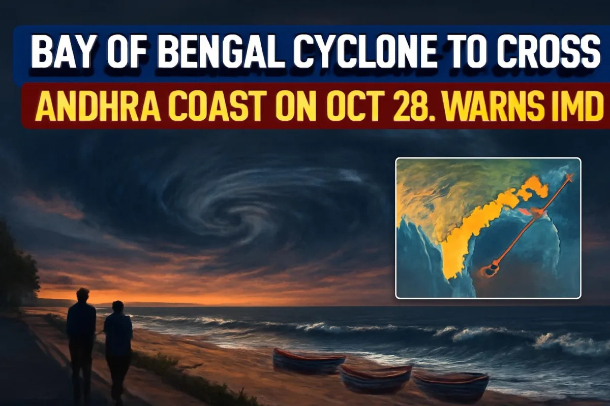
The weather system that has been brewing over the Bay of Bengal all week has finally taken shape. The India Meteorological Department (IMD) said on Saturday evening that the low-pressure area had strengthened into a depression, and its latest forecast shows it growing into a very severe cyclonic storm that is likely to cross the Andhra Pradesh and Yanam coast between Bapatla and Visakhapatnam by the forenoon of October 28. Wind speeds at landfall could touch 115–125 km/h, with gusts up to 140 km/h.
For lakhs of people in coastal Andhra Pradesh and south Odisha, that means the next three days are about getting ready – securing boats, stocking essentials and keeping an eye on official advisories.
Where the System Is Right Now
At 5:30 pm on Saturday, October 24, the depression lay over the east-central Bay of Bengal, roughly 510 km north-northwest of Sri Vijaya Puram in the Andaman and Nicobar Islands. It was still far from the mainland – about 820 km east-southeast of Visakhapatnam, 910 km from Kakinada, 1,020 km east of Machilipatnam and 1,100 km east of Bapatla.
On Sunday, the system is expected to drift almost southward and become a deep depression before curving back towards the west-northwest. That turn is what puts the Andhra coast in its path.
Day-by-Day Forecast
| Date | Expected stage |
|---|---|
| October 24 (Sat) | Depression forms over east-central Bay of Bengal |
| October 25 (Sun) | Deep depression; moves south, then recurves west-northwest |
| October 26 (Mon) morning | Cyclonic storm over east-central and west-central Bay of Bengal |
| October 27 (Tue) morning | Severe cyclonic storm over west-central Bay of Bengal |
| October 28 (Wed) forenoon | Very severe cyclonic storm; likely landfall between Bapatla and Visakhapatnam |
| Wind at landfall | 115–125 km/h, gusting to 140 km/h |
IMD Director General Mrutyunjay Mohapatra has said the exact landfall point and timing will become clearer as the system consolidates, and that the track and intensity are being monitored continuously. In other words, the forecast can still shift, so it is worth checking the latest bulletin rather than relying on older forwards on WhatsApp.
What Will It Be Called?
The system gets a name only once it becomes a cyclonic storm, which IMD expects by Monday morning. Regional reports have already started calling it Cyclone Arnab, the next name on the list used for storms in the north Indian Ocean.
Rain Alerts for Andhra Pradesh and Odisha
The heaviest rain is expected as the storm nears the coast. IMD has flagged heavy to very heavy rain at a few places in coastal Odisha on October 27, and heavy to extremely heavy falls – more than 20 cm in 24 hours – over north Andhra Pradesh and Odisha around October 28. Coastal West Bengal could see isolated heavy rain, while squally weather may reach Chhattisgarh, Jharkhand and Bihar on October 28–29 as the system moves inland.
In Odisha, Ganjam, Gajapati and Puri are among the districts of greatest concern, with Rayagada, Koraput and Malkangiri in the south also expected to be hit hard.
How the States Are Preparing
Andhra Pradesh
Chief Minister N. Chandrababu Naidu has asked officials to stay on high alert. He also told them to make the most of the expected rain by filling reservoirs and irrigation tanks in coastal Andhra and Rayalaseema, so the water benefits farmers in the coming season.
The fisheries department said 29,952 of the state's 30,043 boats had already returned to shore by Saturday. The remaining 91 – 37 from Visakhapatnam, 32 from Bapatla, 20 from Krishna and one from Anakapalli – were heading back. Fishermen have been told not to go to sea until October 29. The power utility APCPDCL has cancelled staff leave, set up control rooms at circle and division offices, and kept vehicles and equipment ready to restore damaged lines.
Odisha
All 30 districts of Odisha are on alert. The state has cancelled leave for district collectors and key officials, and NDRF, ODRAF and fire services teams are on standby. Schools and anganwadi centres in Ganjam, Gajapati, Rayagada, Koraput and Malkangiri will stay closed on October 28 and 29, and collectors can extend the closure if needed.
What It Means for You
- Follow official updates: IMD bulletins and your district administration are the only reliable sources on track and timing.
- Stock up early: Keep drinking water, dry food, medicines, torches and power banks for at least two to three days.
- Stay away from the sea: Avoid beaches and low-lying coastal areas from October 26 onwards.
- Secure loose items: Tie down tin sheets, hoardings and anything that strong winds can lift.
- Keep clear of fallen wires: APCPDCL has warned people never to touch snapped power lines after the storm.
- Check travel plans: Trains, flights and buses on the east coast may face disruption around October 27–29.
What Happens Next
The key moment comes on Monday, when the system is expected to become a named cyclone. Once that happens, IMD will start issuing more frequent bulletins with a sharper landfall window. Coastal residents in Visakhapatnam, Kakinada, Machilipatnam and Bapatla should be prepared for evacuation advisories if the storm keeps strengthening as forecast.





Comments (0)