
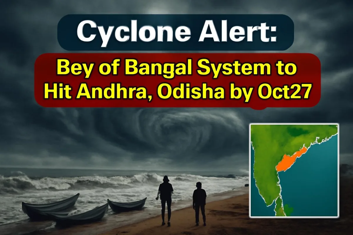
The east coast is bracing for its first big storm of the post-monsoon season. The India Meteorological Department (IMD) says the low-pressure area that formed over the Bay of Bengal on Friday morning is expected to strengthen into a depression today, October 24, and into a cyclonic storm by the morning of October 26. Its projected path points towards the north Andhra Pradesh and south Odisha coasts, where red alerts for extremely heavy rain are already in place for October 27 and 28.
If the system does reach cyclone strength, it will take the name Arnab, contributed by Bangladesh to the list maintained for the region. Until IMD formally declares a cyclonic storm, though, the name remains provisional.
How the system has grown in 48 hours
The low formed at 5:30 am IST on Friday, October 23, over the east-central and adjoining southeast Bay of Bengal, supported by an upper-air cyclonic circulation. That alone was enough for forecasters to start issuing marine warnings. By Friday afternoon IMD had sketched out a clear intensification ladder: depression on Saturday, deep depression on Sunday, and a cyclonic storm over the west-central Bay of Bengal on Monday morning.
After that, the department expects the storm to keep gaining strength as it moves west-northwest over the following two days. No exact landfall point or time has been announced yet, and officials have repeatedly asked people not to trust social media posts claiming to know where the storm will cross the coast.
Wind and sea warnings, day by day
The marine forecast shows a steady build-up. Squally winds of 45-55 kmph, gusting to 65 kmph, are expected over the central and southeast Bay this evening. By Sunday evening, wind speeds are likely to touch 50-60 kmph with gusts of 70 kmph. From October 26, gale-force winds above 70-80 kmph, gusting to 90 kmph, are forecast over the west-central and adjoining east-central Bay, intensifying until October 28.
Sea conditions will turn rough to very rough from today and high to very high from Monday through Wednesday. On land, gusts of up to 60 kmph are likely along the Andhra Pradesh and Odisha coasts on October 27, increasing after that.
Key facts at a glance
| Low pressure formed | 5:30 am IST, October 23, east-central Bay of Bengal |
| Depression (forecast) | October 24 |
| Deep depression (forecast) | October 25 |
| Cyclonic storm (forecast) | Morning of October 26, west-central Bay of Bengal |
| Likely direction | West-northwest, towards north Andhra Pradesh and south Odisha |
| Red alert (extremely heavy rain) | Coastal Andhra Pradesh: Oct 27-28; Odisha: Oct 28 |
| Orange alert (heavy to very heavy rain) | Odisha: Oct 27 and Oct 29 |
| Name if it becomes a cyclone | Arnab (suggested by Bangladesh) |
Fishermen told to stay ashore
The clearest instructions are for the fishing community. IMD has asked fishermen not to venture into the east-central and southeast Bay of Bengal until October 25, and into the west-central and southwest Bay from October 26 to 28. Those already at sea were told to return to the coast by this morning. Fisheries departments and harbour officials have been asked to spread the warning to every landing centre.
Prakhar Jain, managing director of the Andhra Pradesh State Disaster Management Authority (APSDMA), has also asked fishermen not to go out and warned that coastal Andhra could see heavy rain over the coming days. Ports, shipping firms and offshore operators have been told to review their preparedness and expect restrictions on weather-sensitive work between October 23 and 29.
What it means for people in Andhra Pradesh and Odisha
For districts along the north Andhra coast, including Srikakulam, Vizianagaram and Visakhapatnam, and for southern Odisha districts such as Ganjam and Gajapati, the next few days are about preparation rather than panic. Red alerts typically mean rainfall of more than 20 cm in 24 hours at some places, which can bring flash flooding in low-lying areas, waterlogged roads, uprooted trees and power cuts.
Odisha Revenue and Disaster Management Minister Suresh Pujari has said the state has already begun its preparations after receiving IMD's forecast. Squally weather with light to moderate rain is also likely over the Andaman Islands, coastal Odisha, Andhra Pradesh and parts of Gangetic West Bengal until October 25.
A few practical steps make a big difference before any cyclone:
- Keep phones and power banks charged, and store drinking water and dry food for at least three days.
- Secure loose objects on terraces and balconies that strong winds could turn into projectiles.
- Note the location of the nearest cyclone shelter and follow evacuation orders without delay.
- Avoid travel to beaches and low-lying coastal roads from October 26 onwards.
- Rely only on IMD, state disaster management authorities and district collectors for updates.
What happens next
The next 48 hours will settle the big questions: how strong the storm becomes and where exactly it makes landfall. IMD will issue more frequent bulletins once the depression forms, and a pre-cyclone watch for specific coastal districts is likely if the system follows the expected track. Train and flight schedules in the region could also change at short notice later next week, so travellers heading to Visakhapatnam, Bhubaneswar or Berhampur should keep checking for updates.
Tamil Nadu, which has already seen heavy northeast monsoon rain this week, is not in the main firing line of this system, but the active monsoon means scattered heavy spells there cannot be ruled out. ViralDose will keep tracking the storm as IMD updates its forecast.






Comments (0)