
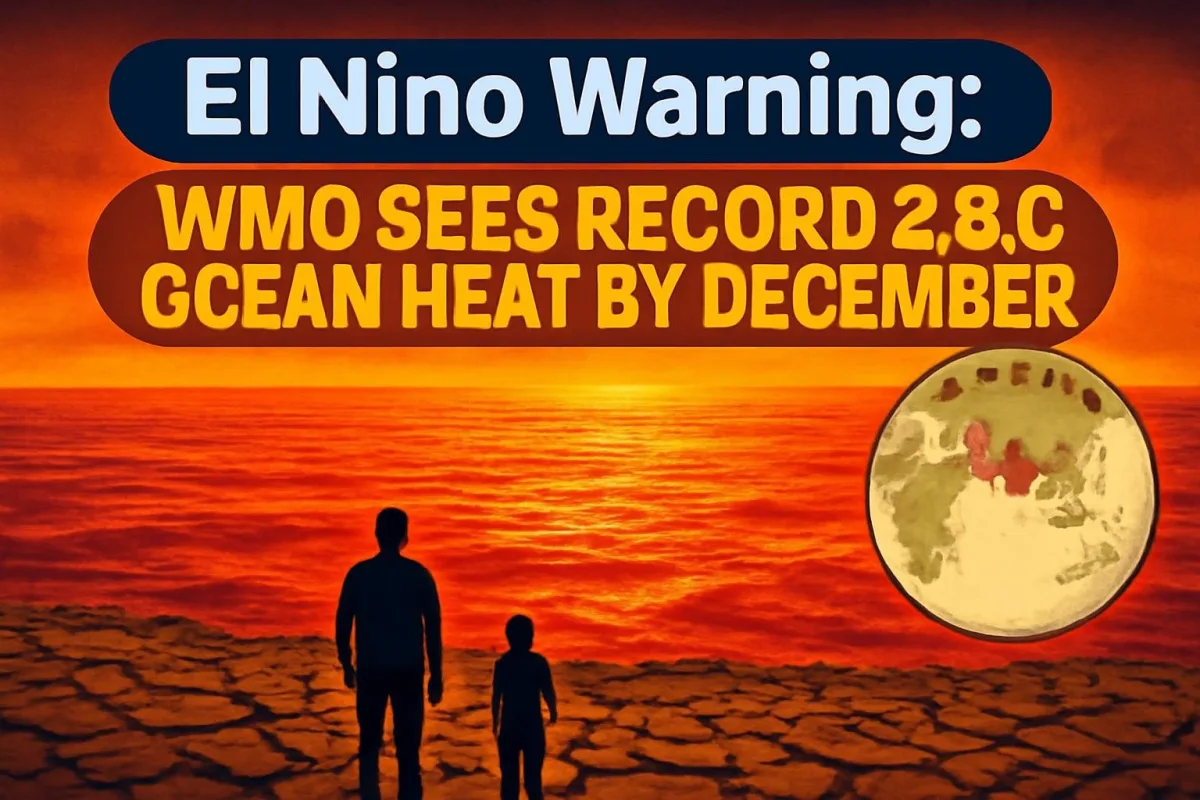
In a stark El Nino warning, the World Meteorological Organization (WMO) has said the current event could become the strongest on record. In its latest seasonal update, the UN weather agency said sea surface temperatures in the central Pacific are expected to run about 3.8°C above normal between November and January, with the event peaking around December, a figure its own records have never shown before.
Why 3.8°C is a big deal
El Nino is the warm phase of a natural climate cycle in the tropical Pacific. When waters there heat up, they shift rainfall and wind patterns across the globe. According to the WMO, the strongest previous events reached anomalies of roughly 3°C, and they were linked to droughts, floods, crop failures and record global temperatures.
"Our archives have never recorded a figure of 3.8," WMO Secretary-General Celeste Saulo said, noting that earlier extreme El Ninos at around 3°C had already caused serious consequences worldwide.
Tom Fletcher, the UN's humanitarian chief, described the event as a "wrecking ball" and warned that about 50 million people could face a worsening hunger crisis as a result of its impact on rains and harvests.
Where the impact will be felt
According to the WMO's outlook, southern Africa faces a higher flood risk from November, while Southeast Asia is likely to see warmer and drier conditions that could hurt agriculture and water supplies. Parts of Latin America may see heavier rainfall. The agency also warned that extreme weather could strain housing, water, sanitation and health systems in vulnerable regions.
The WMO said earlier this year that El Nino was firmly established and that it expected the event to persist into early 2027. El Nino events typically last nine to twelve months, and their biggest effect on global temperatures usually comes in the year after they begin, which means 2027 could be exceptionally hot.
El Nino 2026: key facts
| Forecast by | World Meteorological Organization (WMO) |
| Expected anomaly | About 3.8°C above normal (central Pacific) |
| Forecast window | November 2026 to January 2027 |
| Expected peak | Around December 2026 |
| Previous record events | Around 3°C |
| Hunger risk | About 50 million people (UN estimate) |
What it means for India
For India, El Nino has historically been bad news for rainfall. The southwest monsoon season is now over, but the WMO's seasonal outlooks this year have flagged the Indian subcontinent as one of the regions most likely to see above-normal temperatures and drier-than-normal conditions. The agency has also forecast a positive Indian Ocean Dipole, a pattern in the Indian Ocean that can amplify drought, flood and wildfire risks around the basin.
Here is what to watch in the coming months:
- Rabi sowing: Wheat, mustard and pulses depend on soil moisture and winter temperatures. A warm winter can stress crops, especially during grain filling in February and March.
- Reservoir levels: States will need to manage water carefully if winter rains fall short.
- Food prices: Weaker harvests at home and abroad can push up prices of pulses, edible oils and vegetables.
- Early summer heat: A strong El Nino winter often sets up a hotter-than-usual summer, which could also add to electricity demand.
The India Meteorological Department (IMD) issues its own monthly and seasonal forecasts, and farmers and state governments will be watching its winter outlook closely for local guidance.
A quick explainer: El Nino and La Nina
El Nino and La Nina are the two opposite phases of the El Nino-Southern Oscillation (ENSO). During El Nino, trade winds weaken and warm water spreads east across the Pacific, which tends to reduce rainfall over South and Southeast Asia and Australia. La Nina does the reverse, bringing cooler Pacific waters and often stronger rains to India. These events usually return every two to seven years, which is why weather agencies track them so closely.
What happens next
The WMO will continue to issue updates as the event evolves. Scientists stress that El Nino is a natural phenomenon and not caused by climate change, but a warmer world can make its impacts more intense. For India, the next few months are about preparation: water planning, crop advisories and heat action plans before the summer of 2027.




Comments (0)